Let's Talk ! ![]() 954 342 5676
954 342 5676 ![]() +44 137 243 2466
+44 137 243 2466
Chetu's agriculture software development, integration, and implementation experts comply with regulatory standards including criteria set by the U.S. Department of Agriculture (USDA), Food and Drug Administration (FDA), Food Safety and Inspection Service (FSIS), Environmental Protection Agency (EPA), National Pollutant Discharge Elimination System (NPDES), and Greenhouse Gas Reporting Portals (GHGRP).
We program precision agriculture software for site-specific spatial data mapping through GIS / GPS software technology and integrate with cost analysis applications to create seed yield forecasts and field optimized planting
We develop custom prescriptive planting software technology to support acreage and crop maximization by identifying historical crop yields and weather patterns, seed performance, and soil analysis with site topography maps, creating custom forecast reporting capabilities for specific crop yields
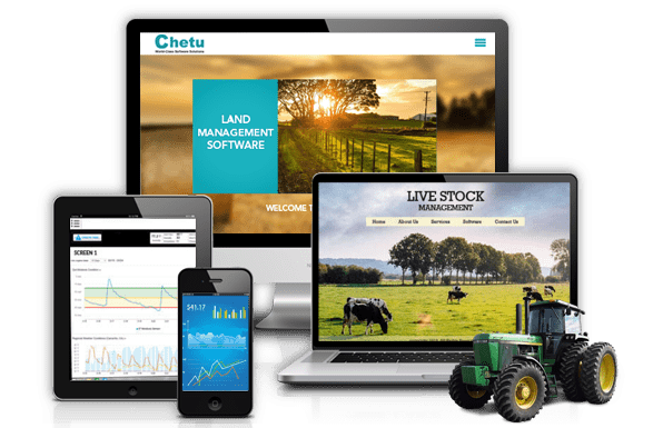
We develop harvesting software modules to manage inventory, loads, dispersals, contracts and track yields from each field from one robust management platform
We program custom Decision Support System (DSS) applications to enhance rate seeding and yield applications, allowing multiple scenario testing and enhanced predictive analysis before planting
We develop site-specific crop management and production cycle platforms with integrated, secured access portals for stakeholders including growers, agronomists, service providers, GIS specialists, and others to access real-time field information from any location
We program custom 3D field design applications to integrate with topography mapping software for detailed visualization of land shapes / slopes, wet / dry zones, drainage areas, and levy locations, to plan waste management / irrigation layouts, and perform robust field yield analysis during planning
Custom precision / variable-rate irrigation software development including support for all irrigation types: surface, localized, drip, sprinkler, gravity, subirrigation, supplemental, center-pivot, rotation, solid-set, in-ground systems, and more
We engineer features for irrigation system planning including existing zones analysis, new systems design, bill of materials generation, energy calculators, custom automations, integrated land management functions, and more
Programming of custom irrigation design software including Computer-Aided Design (CAD), Digital Terrain Modeling (DTM), land survey data, graphics, hydraulic systems / irrigation patterns modeling, and more features
We program import / export features for images from satellite, aerial imagery cameras, and Unmanned Aerial Vehicle (UAV) sources
Sensor and smart controller software development including rain, weather, pressure, and moisture sensors, plus remote management applications for pumps, injectors, valves, sprinklers, emitters, and other equipment
Development of water management systems including supply / demand tracking, water rights / easements tracking, usage tracking, scheduling applications, conservation management, GPS / GIS capabilities, and more features
We develop custom agronomy management software including soil sampling analysis applications and automate results processing through integrations with outside labs and databases including the USDA Natural Resources Conservation Service's Field Office Technical Guide (FOTG)
We integrate GIS mapping with historical datasets for soil type and characteristics identification, and spatial analysis information processing for efficient crop management
We engineer soil collection automation software and program routing capabilities to save and evaluate samples by grids / zones, depth, size, GPS coordinates, subsoil type, and more
We program wet soil management software to design agricultural subsurface drainage systems with integrated drainage level calculators
We program crop or soil color index mapping software and spectral algorithms to isolate soil components
We develop custom soil fertility automation software for nutrient recommendations and calculators that integrate to crop forecasting modules with multiple file export options and wireless data transfer capabilities
Integration of crop / soil mapping software with satellite / aerial imagery applications to identify land configurations including irrigation patterns, organics, sand, clay subsoil, and variations from crop residue
We program variable rate seeding software to automate planting rates with soil productivity potential and integrate with outside databases for predictive analysis
Software-for-hardware (firmware) development and device integrations for aerial imagery cameras, Unmanned Aerial Vehicles (UAV), and remote sensors
We develop mobile applications with 3rd party API integrations for irrigation management capabilities from tablets and smartphones
Spatial data centralization through database warehousing platforms with custom business intelligence analytics applications to support query and reporting capabilities for soil samples, weather information, and GIS map storage capabilities across multiple fields and crops, plus migrations from existing systems
Chemical application tracking modules development to maintain compliance with regulatory and environmental safety standards for pesticides, fertilizers, and other chemicals
We implement data warehouses to store crop yield information, global predictive weather modeling information, and design custom reporting capabilities to pull site, crop, and yield specific measurements allowing analysis over time, seasonal comparisons, and historical benchmarking
We integrate with 3rd party software to pull information from field naming standardization databases to ensure yearly operational consistency
Chetu provides remote global support. We scale IT teams with the industries best gaming developers, engineers, programmers, architects, and consultants to configure, modify and deploy company projects. Our knowledgeable team of industry professionals provide scalable, on-demand support and modification service. Our experienced software teams develop applications for startups companies and scale small-medium and enterprises-size businesses to provide temporary modification/integration support.
Drop us a line or give us a ring. We love to hear from you and are happy to answer any questions.
Get Local App DevelopersContact Us
Headquarters & Delivery Center
1500 Concord Ter.
Suite 100,
Sunrise, FL 33323
Join the conversation
Privacy Policy | Legal Policy | Careers | Sitemap | Feedback | Referral | Contact Us
Copyright © 2000-2021 Chetu Inc. All Rights Reserved.